About Us - Ohangwena RC
- Ohangwena RC
- About Us
About Ohangwena Region
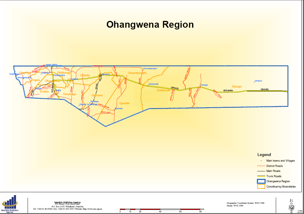
Ohangwena is one of the fourteen Regions of Namibia, situated on a flat plain lying approximately 1 100m above sea level in North-Central Namibia. The Region forms a long, narrow stretch along the Southern part of the Angolan border and measures approximately 10 703.2 square kilometer which is 1.3% of the total area of Namibia. In the north, it borders with Cunene and Cuando Cubango Provinces of Angola. Domestically, it borders the following regions: Kavango West on the east; Oshikoto Region on the South; Oshana Region on the South WEST and Omusati Region on the West.
The region is the second highest populated in Namibia, with 245 446 people (133,316 females and 112,130 males) (Census 2011), constituting 11.6% of Namibia's total population. Fertility rate is 4.6 children per woman while life expectancy is 45 years for females and 43 for males.
The region lies on the Cuvelai basin which forms a very flat landscape with sediments of silt, clay and sandstone. The vegetation is characterized by Kalahari woodlands, shrubs and bushy concoction on the east and Cuvelai network of Oshanas on the west, acting as the drainage system bringing in water and sedimentary deposits from higher lying areas of Angola.
Ohangwena Region has a sub-tropical climate with hot summers and cools to warm winters. The region is semi-arid, annual rainfall varies from 480mm in the western part to 600mm in the east. The regional hottest months are November to February with an average temperature of 20 - 36 Degree Celsius. However, at some instances, the region experiences a maximum of 40 Degree Celsius. The regions cold months are between May and August with an average of 3 - 10 Degree Celsius in the mornings and 18 - 22 Degree Celsius during the day.

PUBLIC NOTICE

 © Government of the Republic of Namibia - All Rights Reserved.